Dr. Ir. Jelle Ferwerda
Research Coordinator for the Faculty for Geo-Information Science and Earth Observation (ITC) at the University of Twente
- j.g.ferwerda@utwente.nl
About Jelle Ferwerda
Jelle Ferwerda is specialized in the use of hyperspectral remote sensing and spatial science for ecology. His work focuses on remote sensing of plant chemistry, endangered species monitoring and crop growth monitoring. Currently, he coordinates research activities in the geospatial science domain at the University of Twente. In this role, he participates in the PhD Workshop Indonesia-Dutch Virtual Event 2021. Together with International Projects Expert Lyande Eelderink, he will guide you to the right research group to support your PhD at ITC.
About ITC
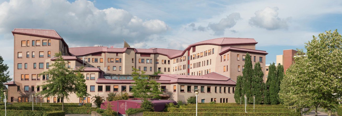
Our mission is to develop capacity, particularly in less developed countries, and to utilize geospatial solutions to deal with national and global problems. Founded 70 years ago as a ITC: International Training Centre for Aerial Survey we stand global institutional strengthening, and our staff and student population reflects this. In the 70 years we have grown to become one of the largest research centres on spatial information globally, ranking #1 in the Netherlands, and #9 globally on scientific relevance. Our vision is that spatial solutions will play an increasingly important role in meeting many of mankind’s complex challenges (often wicked problems), such as climate change, population growth, and related claims for sufficient and secure food, water, energy, health, land and housing provision.
Our goal is to enhance our standing as an internationally recognized knowledge hub in the spatial domain, renowned for its collaborative educational and research activities, particularly in the global South.
The United Nation’s Sustainable Development Goals (SDGs), ambitious and inspiring as they are, reveal a vulnerable planet. Ending poverty and hunger; coping with climate change; ensuring clean water and sanitation, responsible production and consumption, and sustainable cities and communities – goals like these call for new and broader perspectives, new tools, a new way of working. Technology, while sometimes disruptive and even causing new complications, plays a leading role in providing today’s solutions. The development of new technologies from an action-oriented design perspective, can sustainably contribute to the long-term resilience of people, planet and profit. We do this in partnership with universities, governments and NGO’s around the world, bringing in

These domains, and our core activities in education, research and Institutional Strengthening are executed by staff from six scientific departments.
These which operate as centers of excellence in their specific domain:
- Department of Earth Observation Science (EOS)
- Department of Earth Systems Analysis
- Department of Geo-Information Processing (GIP)
- Department of Natural Resources (NRS)
- Department of Urban and Regional Planning and Geo-information Management (PGM)
- Department of Water Resources (WRS)